Michiganology ™️
Map of Michigan, 1855 Print
Regular price
$35.00
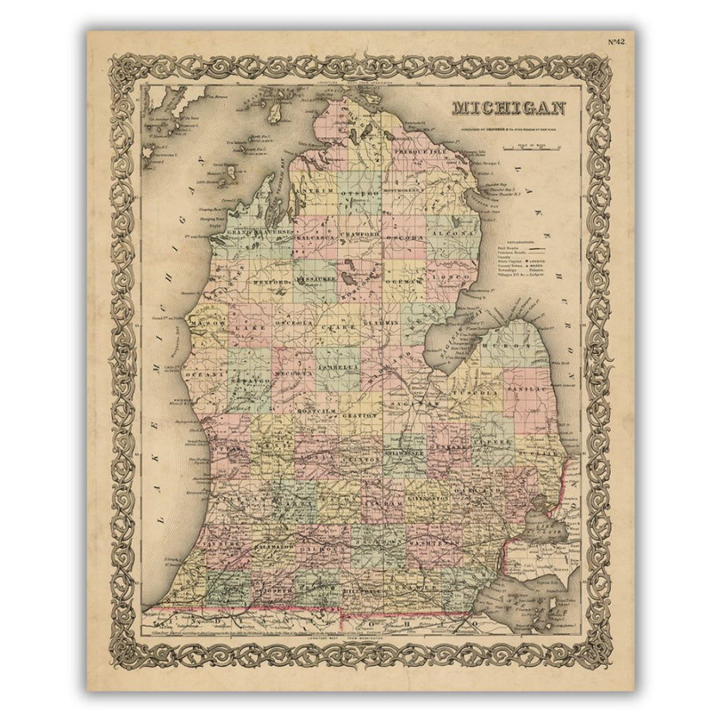
Despite this 1855 map depicting only the lower peninsula of Michigan, its color, detail, and border illustration do not disappoint. Published by J. H. Colton, the map identifies common roads, towns, railroads, canals, rivers, lakes, and counties. In the top right corner, the map is noted as No. 42, specifying its page number in G. W. Colton's Atlas of the World, Vol. 1, 1855.
Features a historical image from the collections at the Archives of Michigan. Printed on archival velvet paper in Lansing, Michigan.
*Original image dimensions may alter final print size*